Peru Grid — Mapping the Peruvian Tech Ecosystem
Peru Grid maps 89 researched startups, consultancies, coworking spaces, incubators, accelerators, nonprofits, and funds across Lima and Arequipa — in one dependency-free web app.
Public release
The technology ecosystem map now includes Coworking Scout: a public explorer for coworkings, cafés and libraries.
Explore PeruGrid + Scout ↗Status documented
Overview
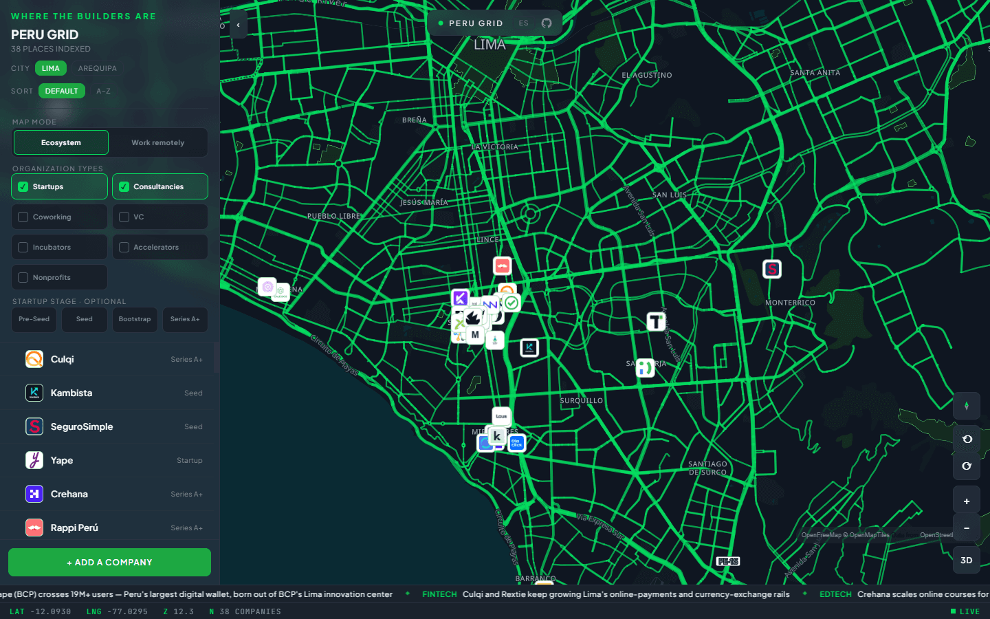
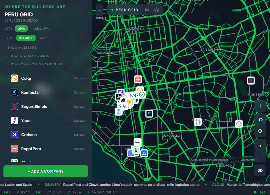
Peru Grid is an interactive, terminal-styled map of the Lima and Arequipa tech ecosystems, rendered with MapLibre GL JS on OpenFreeMap vector tiles — no API keys, no build step, no framework, zero npm dependencies. A static HTML application loads researched company and headline datasets at runtime. Visitors switch cities, filter the ecosystem by organization type and startup stage, inspect company details, choose 2D or 3D map modes, and submit additions for review.
The Problem
Peru's tech scene is real but illegible — startups, consultancies, incubators and funds exist across Lima and Arequipa, yet there's no single open place to see them. Every entry here was researched and verified (SUNAT/RUC registries, Crunchbase, YC directories) rather than scraped; unverifiable or defunct candidates were dropped instead of padded in.
Questions Addressed
- 01
How much interactive map can you ship with literally zero dependencies and no build pipeline?
- 02
How do you keep a community dataset honest — verified entries in, hype out?
- 03
Can CI meaningfully guard a data project with no application code?
Methodology
One-File Architecture
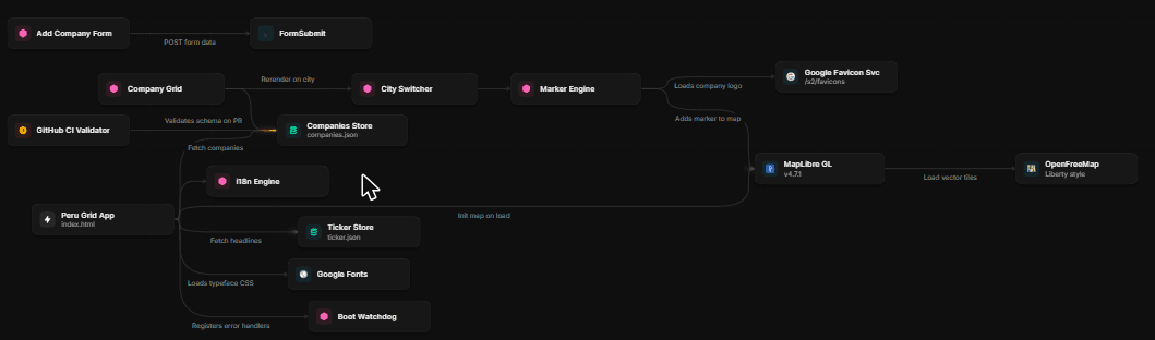
MapLibre GL JS over OpenFreeMap tiles (OpenMapTiles schema) needs no API key, so the entire app is a single static HTML file with inline JS/CSS — deployable on any static host, forkable by anyone for any other city. Data lives in two JSON files (companies, ticker headlines) fetched at runtime.
Verified Dataset, Not a Scrape
89 organizations across Lima and Arequipa span startups, technology consultancies, coworking spaces, incubators, nonprofits, venture funds, and accelerators. Entries carry a public category plus an optional startup stage; code ships under MIT and the datasets under CC BY 4.0.
Guardrails in CI and at Runtime
GitHub Actions validates on every push that both JSON files parse and every entry carries a name, city, coordinates, and public category; startup stage remains optional. At load time, entries outside their city's bounding box are skipped with a console warning — a bad coordinate can never silently render a marker in the ocean.
Key Results
Key Findings
Zero-dependency is a feature for civic projects: anyone can fork one HTML file and two JSON files for their own city without touching npm.
For open datasets, explicit categories, coordinate bounds, and reviewable sources matter more than inflating the count.
CI has a job even with no application code: schema-validating the data on every push keeps community contributions from breaking the map.
Conclusion
Peru Grid is live at perugrid.com — open source end to end (MIT code, CC BY 4.0 data) and designed to be forked. The honest pitch is a verified starting point for making Peru's tech ecosystem visible, not a finished atlas; community submissions continue to grow the map.